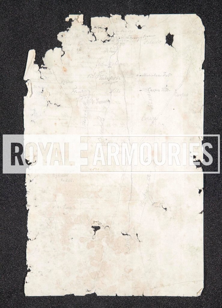
Sketch map showing the rivers, the roads and the Portguese and Spanish towns and villages on the northern frontier near Ciudad Rodrigo, possibly the key to a map, from the archives relating to the military careers of Henry and Charles Dawson, 52nd Light Infantry, during the Napoleonic Wars
Asset Number DI 2007-1107 Keywords:
